Sign in
Ctrl K

AHN2 pointcloud viewer

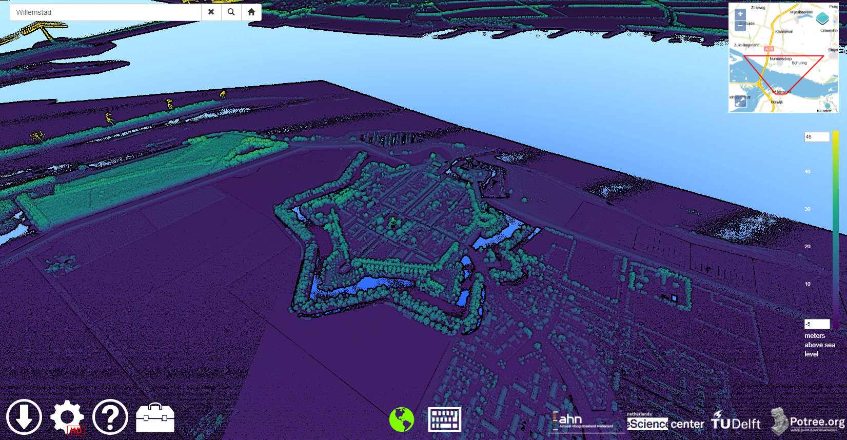
A web application able to visualize the AHN2 point cloud data of the Netherlands.
1
mention
3
contributors

Cite this software

What AHN2 pointcloud viewer can do for you

  • For all users interested in geo-data that need an intuitive interface to browse this data and / or extract parts of it for other uses, this webGL Pointcloud viewer is the best of the bunch, because it is the only one out there capable of displaying 640 billion points. Geo-scientists, archeologists, spatial planners, biologists or environmentalists performing exploratory analysis of massive LiDAR data sets ('point clouds') composed of billions of points using Potree-powered web-based viewer.
  • Tools to enable interactive web-based visual analytics on massive point clouds.
  • These are the only tools that enable interactive web-based visual analytics on massive point clouds. No other web-based tool can display a point cloud this massive. 640 billion points.
Logo of AHN2 pointcloud viewer
Keywords
Programming languages
  • JavaScript 86%
  • HTML 11%
  • CSS 3%
License
  • Apache-2.0
</>Source code

Participating organisations

Delft University of Technology
Fugro
Netherlands eScience Center
Social Sciences & Humanities
Potree
Environment & Sustainability

Mentions

Contributors

Oscar Martinez Rubi
Oscar Martinez Rubi
Maarten van Meersbergen

Related projects

MobyLe - Motion by Learning

Estimating Motion of objects on Earth from Space

Updated 17 months ago
In progress

Mapping the Via Appia in 3D

Developing a 4D geographic information system for archaeological purposes

Updated 13 months ago
Finished

Massive Point Clouds for eSciences

Using point clouds to their full potential

Updated 13 months ago
Finished

Related software

Massive PotreeConverter

MA

Use parallel processing to quickly convert large point cloud data sets to the format used by the Potree viewer.

Updated 21 months ago
1 3