All projects
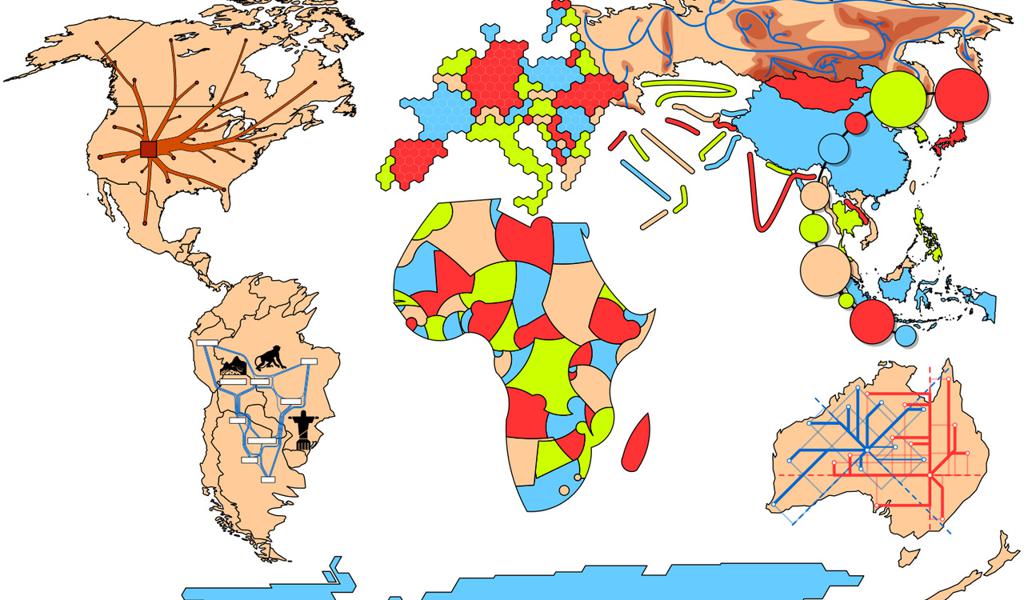
Algorithmic Geo-visualization
From theory to practice
- Big data
- geovisualization
- Visualization

EcoExtreML
Accelerating Process Understanding for Ecosystem Functioning under Extreme Climates with Physics-Aware Machine Learning
- Big data
- Digital Twins
- High performance computing
- + 2

MyDigiTwin
Using big data to put a cardiovascular digital twin into the hands of people
- Digital twin
- federated learning

High spatial resolution phenological modelling at continental scales
Understanding phenological variability
- High performance computing
- Optimized data handling
- Statistics
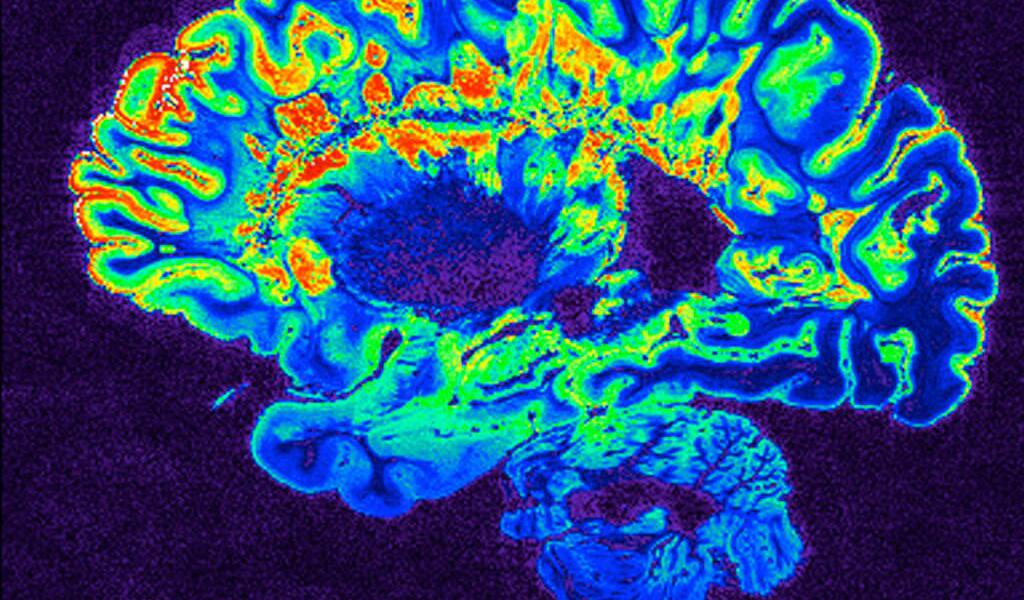
FEDMix
Fusible evolutionary deep neural network mixture learning from distributed data for robust medical...
- Image processing
- Machine learning
- Visualization
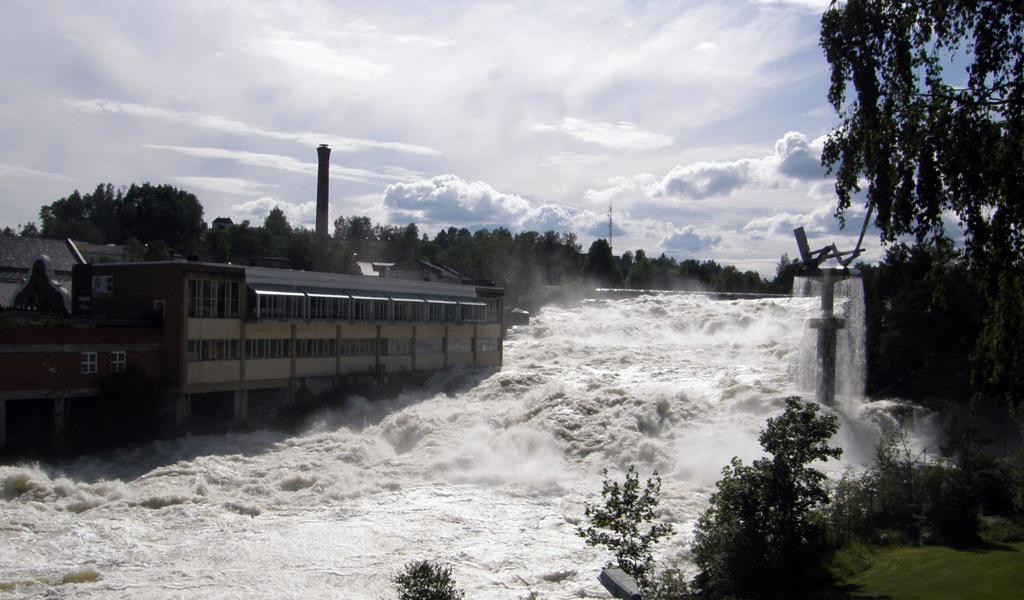
TWEX
Translating weather extremes into the future – a case for Norway
- atmospheric rivers
- Climate modeling
- Extreme weather
- + 1
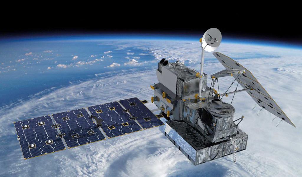
eSiBayes
An eScience infrastructure for Bayesian inverse modeling
- High performance computing
- Machine learning
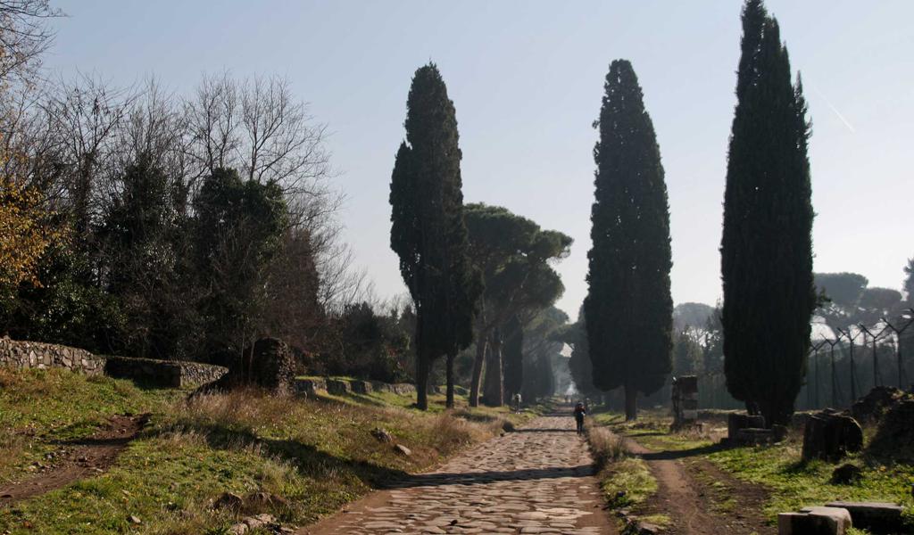
Mapping the Via Appia in 3D
Developing a 4D geographic information system for archaeological purposes
- Visualization

Mining Shifting Concepts Through Time (ShiCo)
Word vector text mining change and continuity in conceptual history
- Text analysis & natural language processing
- Visualization
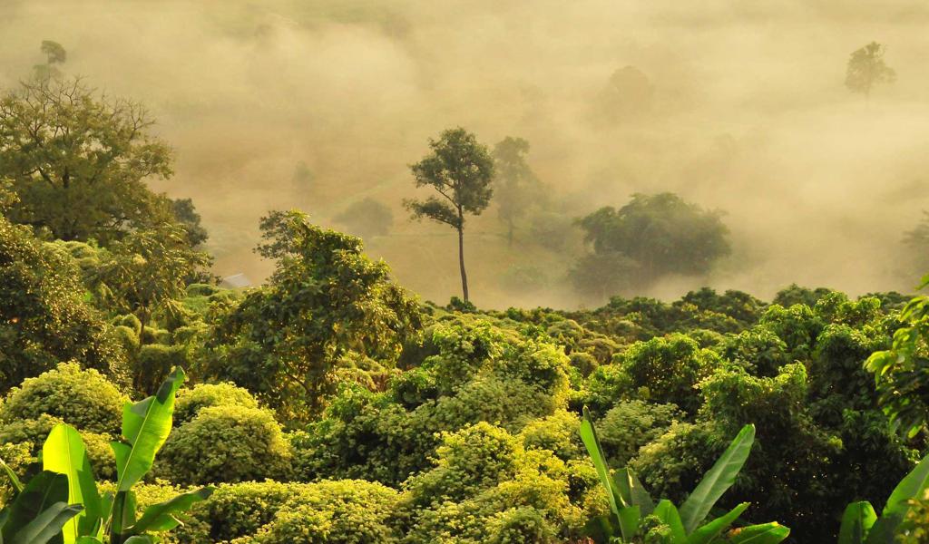
RETURN - Monitoring tropical forest recovery capacity using RADAR Sentinel satellite data
Demonstrating the potential of European Sentinel satellite data
- Big data
- biodiversity
- geographical information systems
- + 1

PROCESS
Providing computing solutions for exascale challenges
- Big data
- High performance computing

MINERVA
MIcrowaves for a New Era of Remote sensing of Vegetation for Agricultural monitoring
- Agriculture
- Dask
- HPC
- + 4