Ctrl K
All projects
1Filter
Impact
Keywords
31
Research domains
6
Participating organisations
72
12
1-12 of 23

Life Sciences
MOSAIC
Modelling sea level and inundation for cyclones
- Multi-scale & multi model simulations
Dec 2018 - May 2024
785
24

Life Sciences
DynaSlum
Data-driven modeling and decision support for slums
- Big data
- Machine learning
- Visualization
- + 1
Dec 2015 - Dec 2019
458
24

Life Sciences
ERA-URBAN
Environmental re-analysis of urban areas: quantifying high-resolution energy and water budgets of...
- Data Analysis
- Forecasting
Dec 2014 - Dec 2019
311
21

Life Sciences
SIM-CITY
Decision support for urban social economic complexity
- Agent-based modeling
- decision support system
- simulation modelling
Mar 2013 - Dec 2017
308
9

Life Sciences, Physical Sciences and Engineering
Summer in the City
Forecasting and mapping human thermal comfort in urban areas
- Data Analysis
Jan 2013 - Sep 2016
273
31
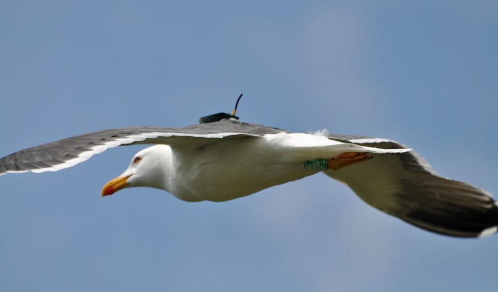
Life Sciences
eEcology
Virtual laboratories for inspiration and discovery in ecology
- Machine learning
Jan 2012 - Mar 2016
149
19
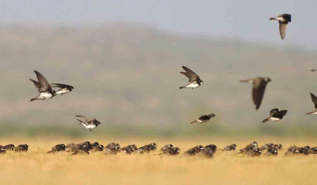
Life Sciences
eEcoLiDAR
eScience infrastructure for ecological applications of LiDAR point clouds
- Big data
- Machine learning
- Visualization
Dec 2016 - Jul 2021
139
15
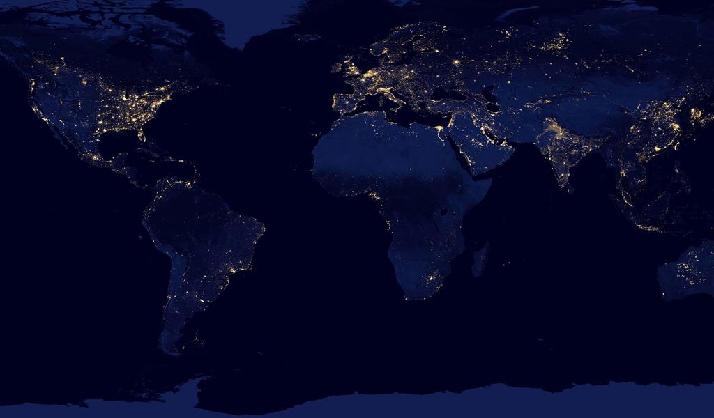
Life Sciences
Big Data Analytics in the Geo-Spatial Domain
Empowering geo-spatial analytics with database technology
- Point Cloud
- Visualization
Dec 2013 - Jun 2015
121
19
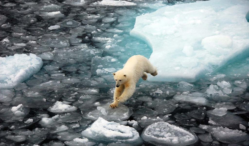
Life Sciences
Blue-Action
Arctic impact on weather and climate
- Climate change
Dec 2016 - Feb 2021
97
11

Life Sciences
BirdRadar
A novel filtering method to estimate bird densities
Jun 2016 - Jun 2017
93
6
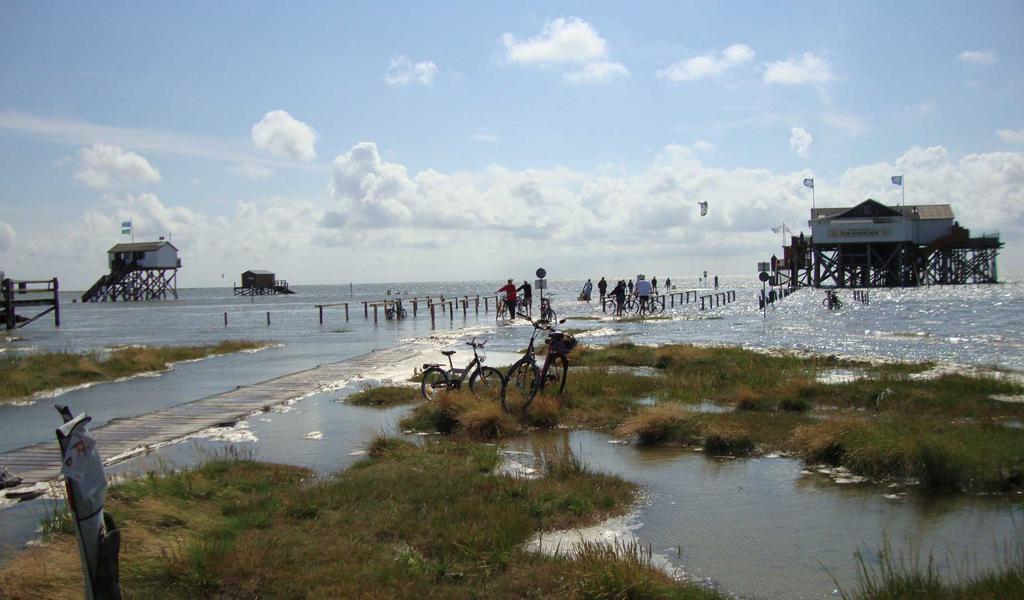
Life Sciences
3D Geospatial Data Exploration for Modern Risk Management Systems
The country below sea level
- GPU
Oct 2015 - Sep 2016
87
9

Life Sciences
A new perspective on global vegetation water dynamics from radar satellite data
Global vegetation water dynamics using radar satellite data
- Data assimilation
- deep learning
- Land Surface Model
- + 5
Jun 2019 - Dec 2023
77
8